
Empowering cities, enabling citizens.

We partnered with major cities in Asia to strengthen their spatial data infrastructure, each embarking on distinct trajectories to implement the IPDS framework in their own way.
CASE STUDY: INDONESIA
Balikpapan
By focusing on Institutional Arrangements, Balikpapan has integrated the MSDI Roadmap into the city’s planning cycle and has become the first city to partner with Indonesian National Geospatial Agency.
The city government has played a major role in fostering the growth of the geospatial ecosystem. The significant political backing is reflected in the integration of key performance indicators from MSDI’s Roadmap into the city’s Mid-Term Development Plan (RPJMD) and Sectoral Strategic Plan (RENSTRA), as well as Balikpapan becoming the first city to align MSDI initiatives with national policies.

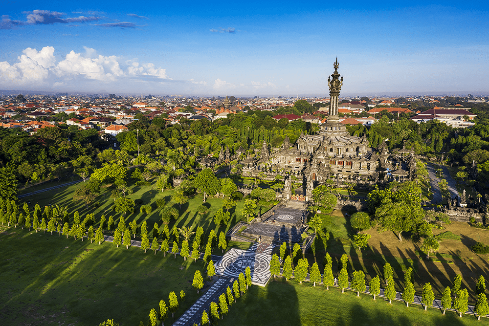
CASE STUDY: INDONESIA
Denpasar
Denpasar used the MSDI Roadmap to pave the way for e-governance and Smart City initiatives.
The MSDI Roadmap guided the city to prioritize its tasks and enable supportive actions in their Smart City plans. Denpasar went on to train city staff to develop sector-specific skill sets, establish a Geoportal, and develop a holistic data governance regulation in the form of an MSDI Mayoral Decree with specific protocols for data access and data sharing.
CASE STUDY: INDONESIA
Semarang
Semarang was the first CPL partner city to establish data governance to coordinate regulatory and technical geospatial initiatives and solutions.
Semarang established an MSDI policy framework with the City Planning agency (BAPPEDA), the ICT agency (DISKOMINFO), and the Spatial Planning agency (DISTARU). As a result, the city rolled out strategic initiatives to create supportive policies, frameworks, and organizational structures across all line departments.

CASE STUDY: INDONESIA
Palu
A major earthquake in 2018 near Central Sulawesi led to a tsunami and soil liquefaction that caused tremendous damage in the Palu area.
With an estimated 68,000 dwellings damaged, CPL worked with the city government to gather data from different courses to map areas with the best potential for resettlement, using the SuitAbility tool to generate six maps showing disaster prone areas, agricultural areas, National Park and areas for settlement.
